The city beyond the Eixample
The grid is Barcelona’s international image, but most neighbourhood histories follow other grammars: village, factory, slope, estate, port and river.
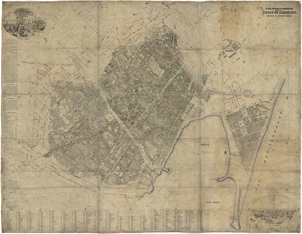
Plan of Barcelona shortly before Cerdà’s Eixample (1858).
Wikimedia Commons · Miquel Garriga i Roca · CC BY 4.0 · source

When the chamfer stops working
A chamfered corner identifies the Eixample almost without a street name. Used as a measure for the whole city, however, it turns everything else into exception. Sant Andreu looks too narrow, Poblenou too fragmented, Roquetes too steep and Montbau too open. The problem is not in these places. It lies in the single grammar used to read them. The Eixample was a decisive transformation, not a norm from which every other form deviates.[1] Barcelona is an archipelago of urban systems produced by different economies, terrain and historical moments.
The village grammar
In Sant Andreu, Carrer Gran operates as a spine. Side streets, squares, church, commerce and institutions organise themselves around a centre older than annexation. Unity does not come from a repeated grid but from urban relationships accumulated over time.[2]
Variants of this form appear in Gràcia, Horta, Sants and Sarrià. The neighbourhood is legible because it preserves the centre of a municipality, not because it reproduces an ideal block.
The productive grammar
In Poblenou, industrial plots produced halls, passages, chimneys, railways and housing. Regular streets could coexist with immense compounds and entrances determined by logistics. Urban form answered the movement of materials and labour rather than residential circulation alone.[3]
After factories close, plots continue shaping redevelopment. A hall becomes an office, an enclosure a park, a railway a promenade. New Poblenou does not completely replace the old. It builds on its boundaries.
The grammar of slope
In Roquetes or Torre Baró, topography decides before drawing. Stairs, walls, turns and small plots resolve changes in level. The street negotiates with the ground. A straight line may be impossible; an apparently indirect route may be the only usable one. Montbau gives a planned response to the hillside. Blocks, platforms and green areas create an open city unlike the Eixample. This is not an absence of street but a different relationship between building, ground and common space.
Port and estate grammars
Barceloneta has its own grid, born from maritime and military logic, narrow plots and a direct relationship with port and beach. In Besòs neighbourhoods, large blocks and intermediate spaces come from mass housing and infrastructure projects. The operative scale is the estate rather than the individual party-wall house. Each grammar produces different advantages and problems. Dense fabric can sustain commerce and restrict ventilation. An open estate can provide light and create distance. Slope may offer views and deny accessibility. No single form solves the city.
An atlas of grammars
To read beyond the Eixample is to ask what organised each place: road, factory, station, gradient, canal or housing plan. The city then ceases to have one formal centre surrounded by defective peripheries. Multiple centres and complete urban forms appear. When the chamfer ends, Barcelona does not lose order. It changes language.
Static map: official neighbourhood boundaries (CartoBCN)
Related neighbourhoods
Sources
- [1] MUHBA. L’Eixample Cerdà. ↩
- [2] MUHBA. Sant Andreu de Palomar, de poble a barri de Barcelona. ↩
- [3] BCNROC. Industrial heritage of Poblenou. ↩
- [4] MUHBA Oliva Artés. La formació d’una metròpoli.