Barcelona, barri a barri

An atlas for understanding why each part of Barcelona is the way it is: what stood there before, who built it, what disappeared, and what can still be read in its streets.

All 73 neighbourhoods, treated as historical and social worlds of their own — from the waterfront to Collserola, from absorbed villages to interwar low-cost housing and post-war estates.

Begin with a clue

An unexpected neighbourhood

Horta-Guinardó · 42

la Clota

First find an irrigation line, a low wall or the uneven edge of a plot. Then look at the blocks and major institutions around it. La Clota is legible in this difference of scale: apparent emptiness is a network of ownership, water, work, planning delay and memory.

La Clota is a green hollow that survived inside Barcelona not because time stopped, but because decades of incomplete planning, agricultural labour and neighbourhood resistance prevented total transformation. Gardens, low houses, workshops and narrow lanes now coexist with park, housing and facility projects that may preserve its structure or erase it.

Stories across the city

Stories →

Ten districts, ten histories

Maps that made the city

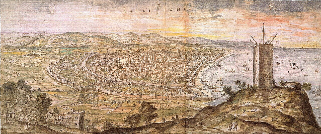
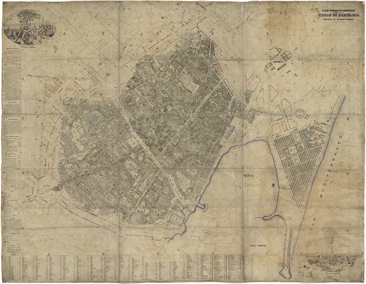
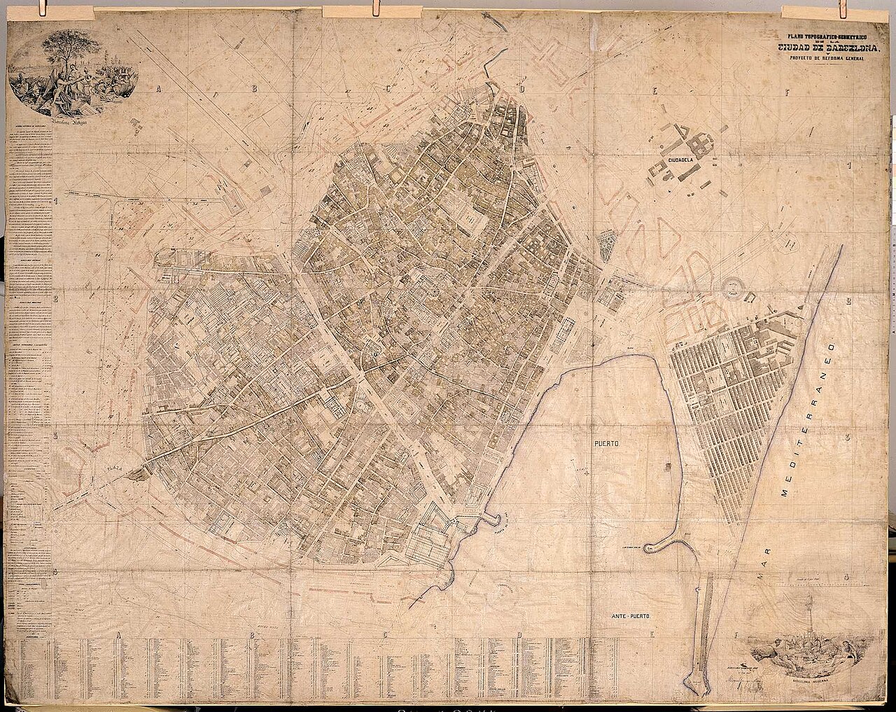
Public-domain historical cartography — not decoration: it helps you read walls, the Eixample and annexations before you open a neighbourhood page.

Method →

All neighbourhoods

73 neighbourhoods · 10 districts · 4 languages

All neighbourhoods

All neighbourhoods →

Return to top